THE ULTIMATE DATA TOOLKIT: Empowering and Equipping-Mai Maasina Green Belt Rangers; to carry out monitoring, validation of data collection and storage, accessing MAPEO.
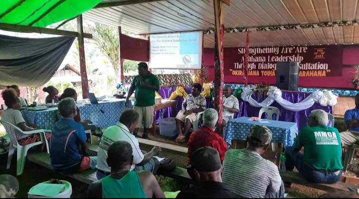
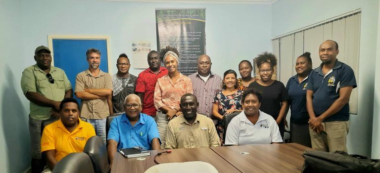
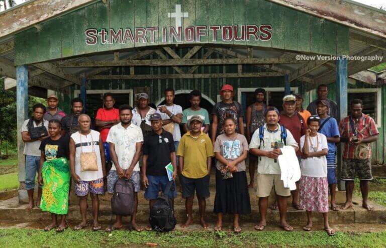
On the 5th to 6th of March 2024, a Mapeo training was held at Waihau Conservation Centre (Mai Maasina Green Belt, Malaita office). The training was facilitated by Mr. Rudo, an expert working with indigenous communities on mapping, monitoring and land tenure and was supported by MMGB GIS Mapping Officer Sharon. Fourteen (14) participants from 7 MMGB affiliated conservation groups were selected to attend the first pilot training. The two (2) days training comprises of various activities to harness and equip the rangers of the 7 conservation groups, to build their capacity and instill more knowledge on how to use the Mapeo App on the smartphone device.
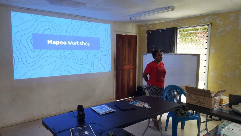
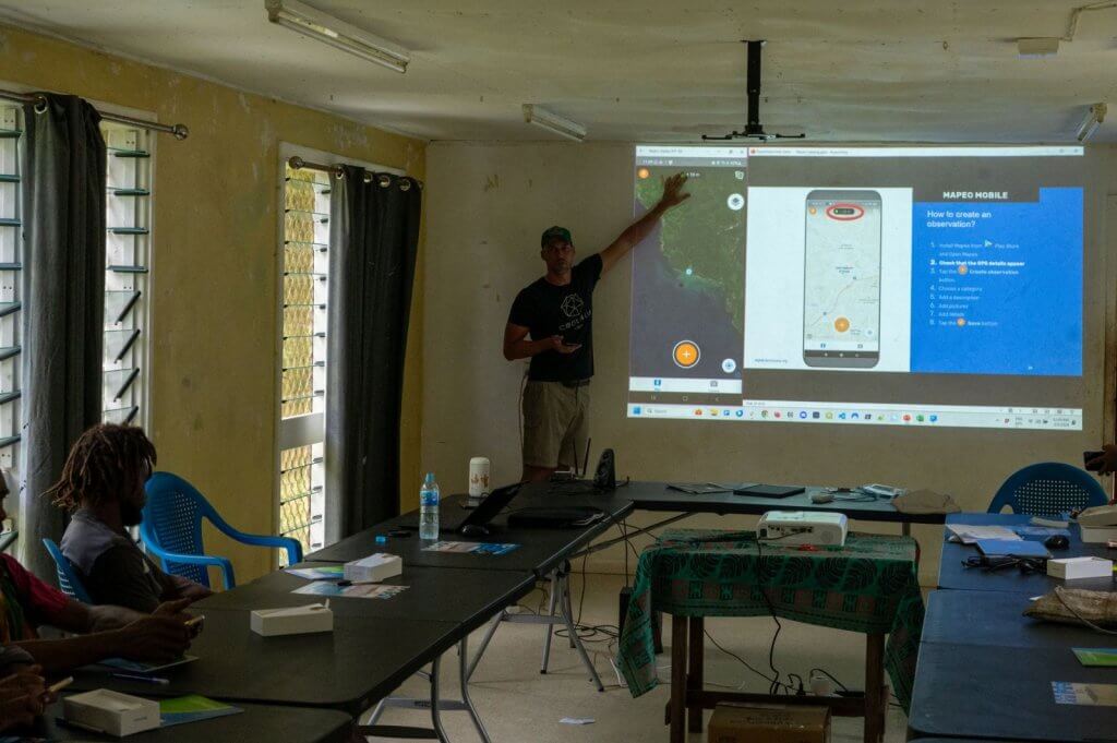
The first day of the training was an introductory session in which the facilitators cover topics as; What is Mapeo, Importance of Mapeo, Functions of Mapeo, Uses of Mapeo, Data Handling, Distribution of devices to participants.
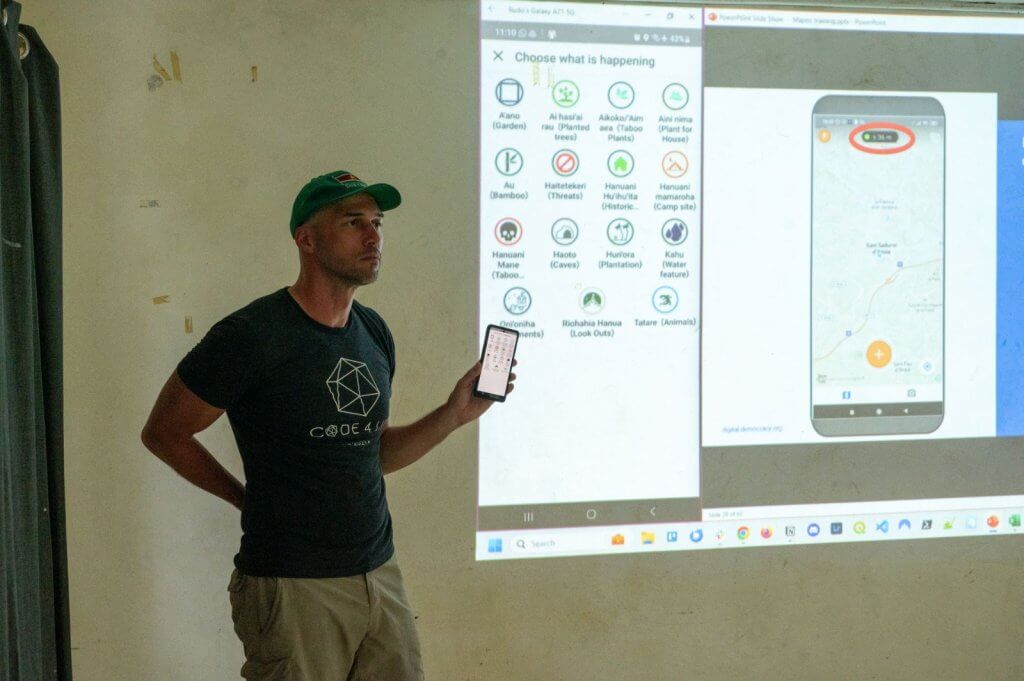
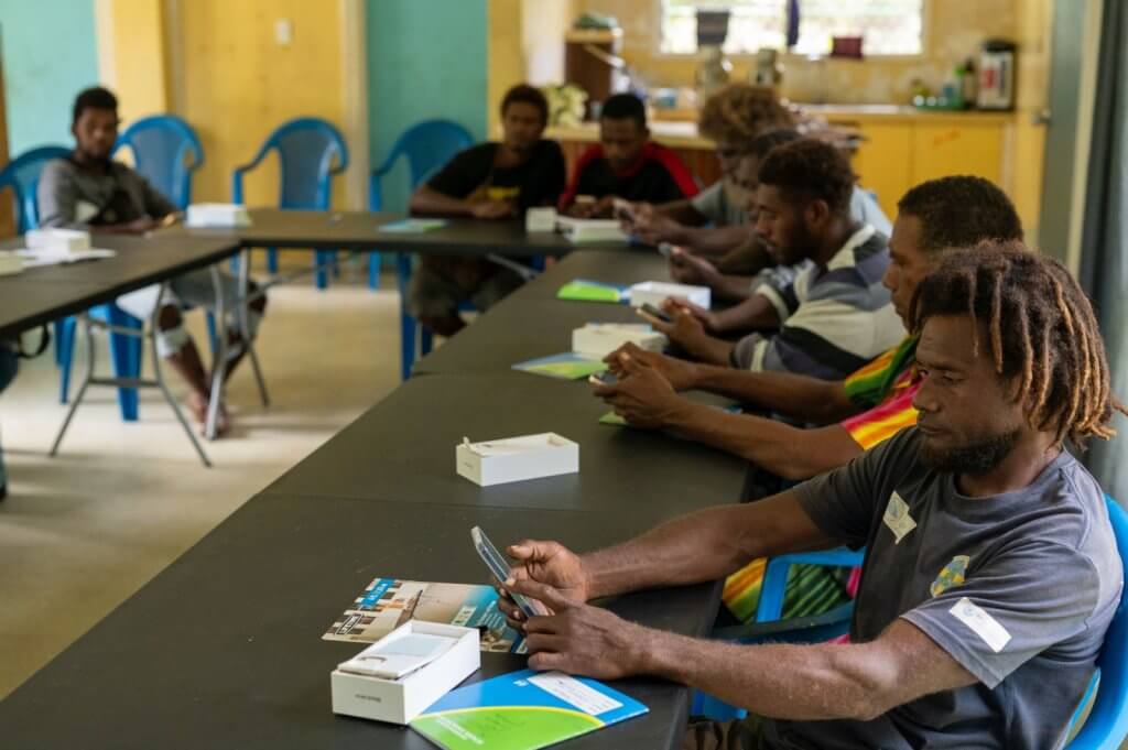
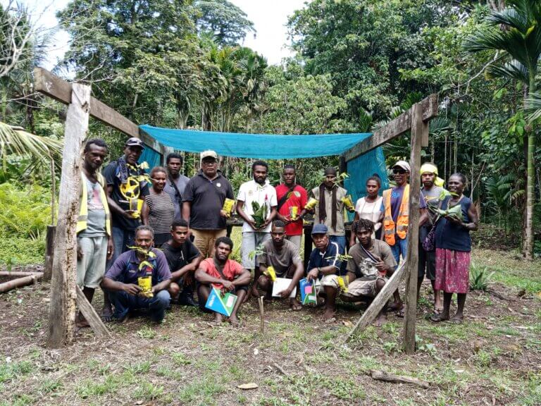
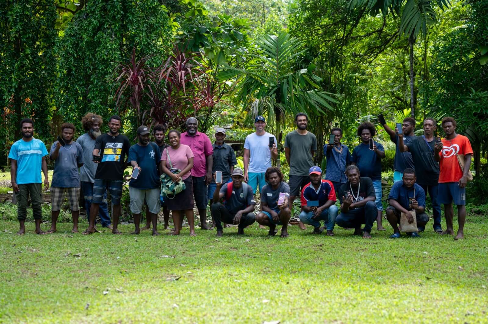
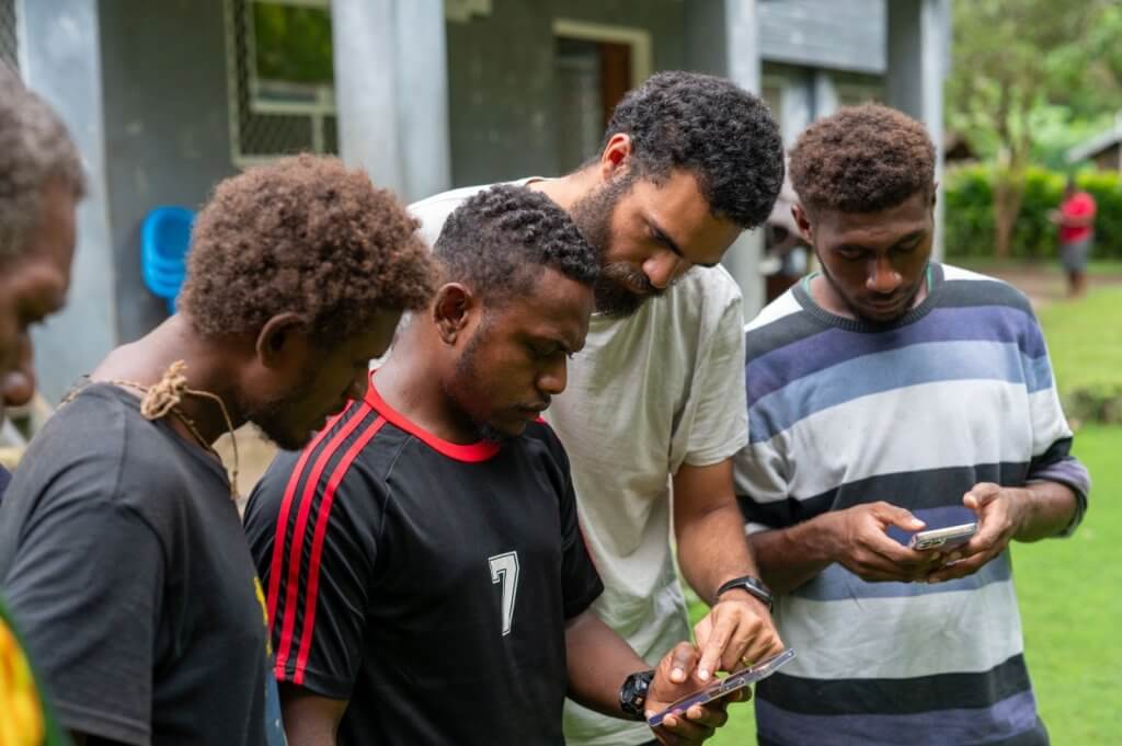
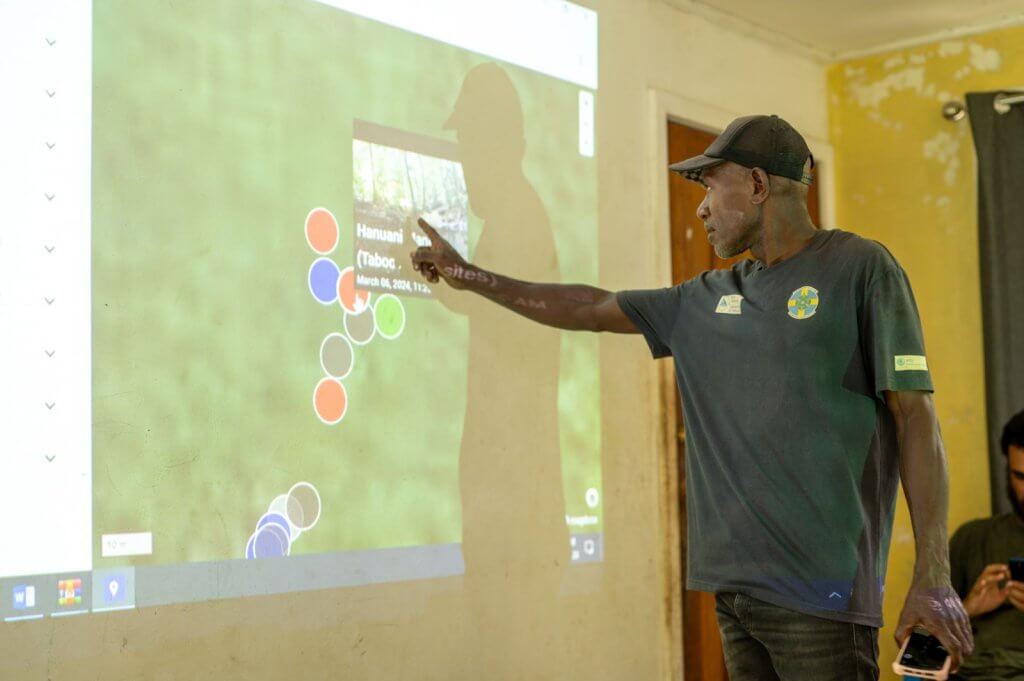
The second day of training involves practical training and group discussion activities. Each participant was handed a device and tasked to practically collect data samples using the Mapeo app within the neighboring Waihau Conservation site. The practical training was very engaging since each participant were able to utilize all the icons and features of Mapeo, capturing and naming each species of trees, animal species, taboo sites, farming sites and more.
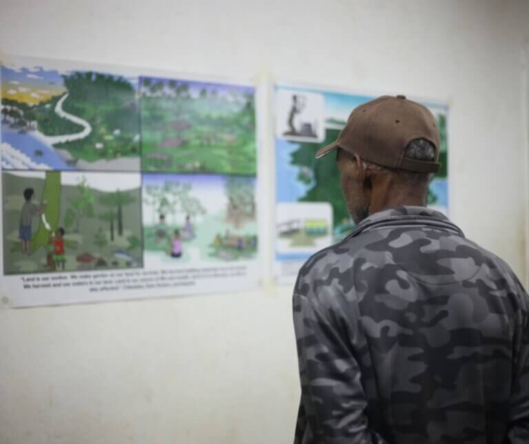
There were thoroughly discussions on Indigenous data sovereignty protocol with all participants and undoubtedly, they have grasped the importance of why proper data storage is vital that will determine the following: Who can access the information, the type of information to be collected and where to store data information for current and future use.
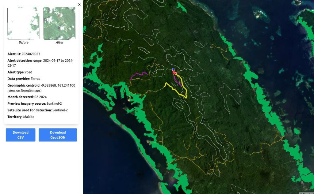
A brief overview of how useful these collected data accessing the app can be so handy was done on Malaita map detection. The advanced inclusion of the app can help detect ecological threats and send notification alerts to the monitoring team for assessment hence liaise with its conservation members.
The two (2) days training ended successfully with all participants returned with well-equipped capacity and courage to use Mapeo for data collection in their respective conserved sites. A follow-up training will be conducted by June to assess the collected data from the rangers.
For more information about Mai-Maasina Green Belt and its initiatives, visit https://mai-maasina.org/ or https://www.facebook.com/maimaasina