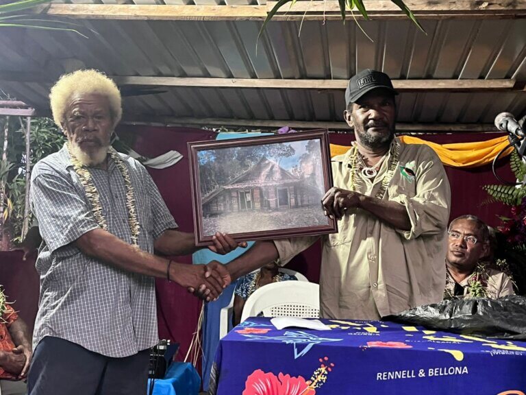
Monitoring of Mapeo, Enhancing Field Data Collection Efficiency for Mai Maasina Green Belt Rangers as environmental stewards.
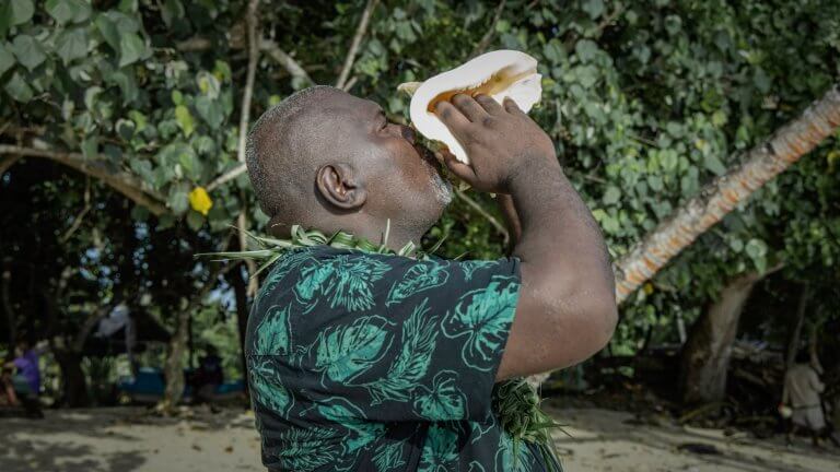
Rangers of 7 conservation sites are now collecting data using the recently introduced MAPEO toolkit in their respective conservation land.
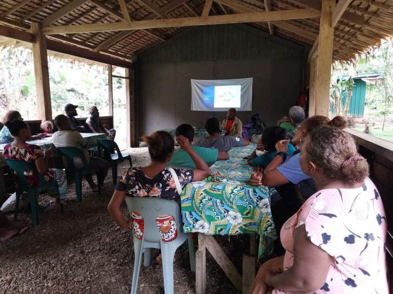
On the 20th of March 2024, MMGB GIS officer, Sharon Uhiaro visited the affiliated members allocated under the Mapeo program. The purpose of the visit was to monitor, update the apps version on the smart phones and ensure the software is performing optimally, hence observe how the rangers are progressing with their mapping activity within their respective sites.
Two prime sites were visited during the trip. Takataka-Kira Conservation Foundation hosted neighboring rangers within Takataka bay. Ahetaha Conservation was the other site that was visited.
Mapeo is an open-source software designed for offline mapping and data collection. It was a newly introduced tool to Mai Maasina Greenbelt rangers this year and currently under exploratory phase. The tool will help rangers capture valuable information within their tribal lands directly using their smart phones. Information collected included wildlife sightings, taboo sites, changes in vegetation and other substantial points within their tribal lands.
During the visit, the officer also reminded community rangers on the issue of proper utilization of the provided devices. She reiterates that all information collected is stored in the smartphones and once the app is lost, they will have to redo the collection of data.


The next activity will be the evaluation workshop and is scheduled for July this year.
For more information about Mai-Maasina Green Belt and its initiatives, visit https://mai-maasina.org/ or https://www.facebook.com/maimaasina