MAPEO Evaluation Workshop.
“I never thought of operating such handy tool at this stage yet. It helps a lot. This advanced inclusion has taught me of the rich resource our tribal land hence boldened my perspective as a guardian to be vigilant over these resources”, Donation, Chairman of Hi’i Conservation commented in an interview.
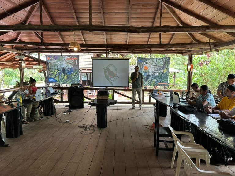
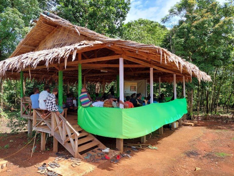
The Mapeo evaluation was facilitated on the 17th to 19th of July at Takataka Eco Village Foundation. The evaluation workshop was a follow up on the recent inclusion of MAPEO app to 7 MMGB conservation sites in February 2024 with 2 representatives for each site.
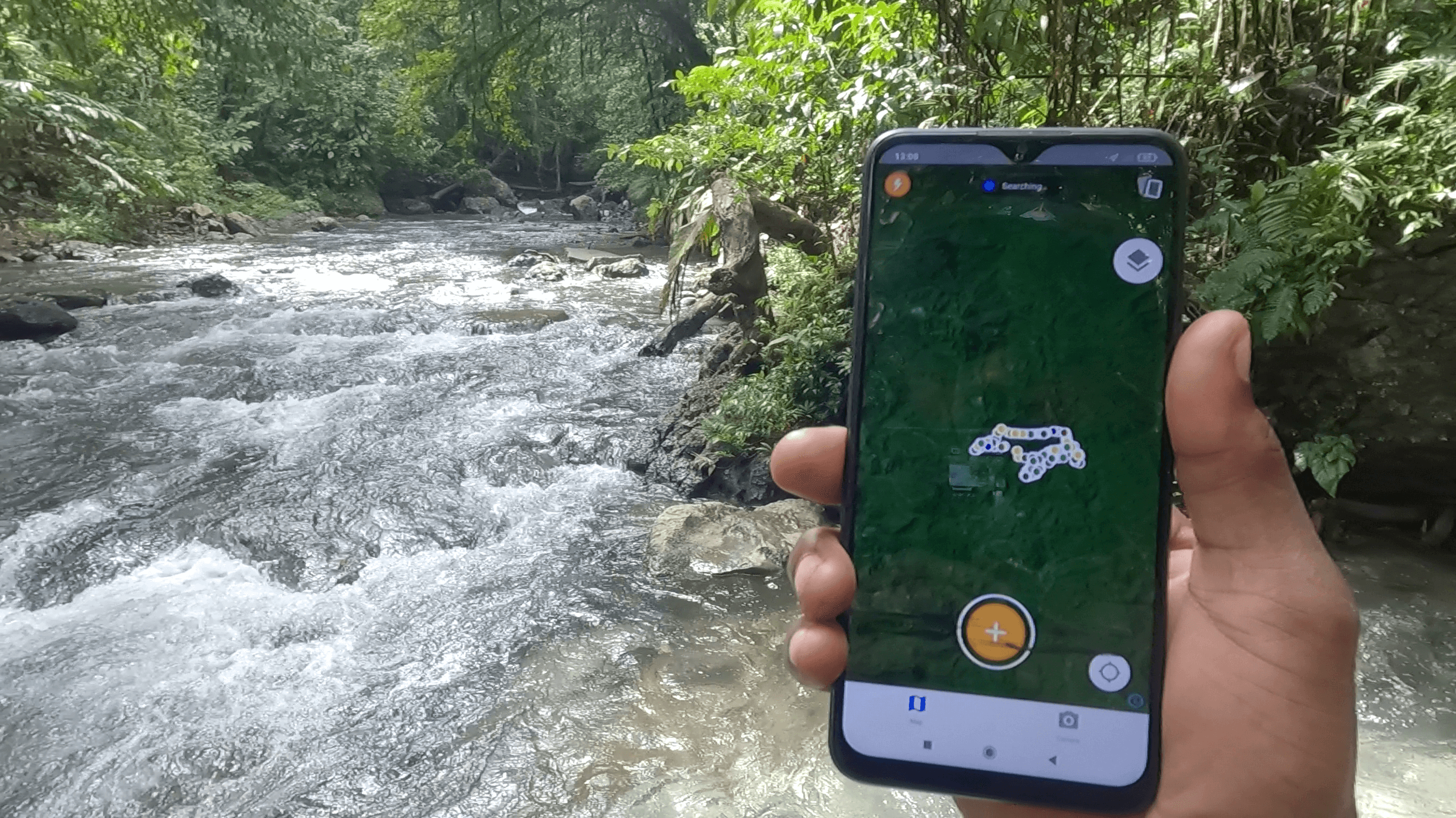
A Presentation on the Geospatial data was facilitated by Andrew Taraha on the first day. These presentations were carefully crafted to be both informative and engaging, providing the rangers with a deeper understanding of how geospatial data can be utilized to enhance their work. The presentations covered a range of topics, including the basics of geospatial data, its practical applications in wildlife management or conservation, and the use of MAPEO tools for data collection and analysis. Visual aids, such as maps and charts, were employed to illustrate key points and ensure that the information was accessible and easily understood.
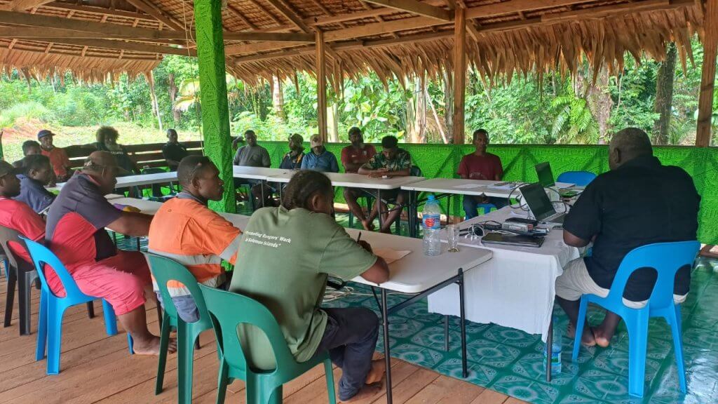
The evaluation workshop encompassed a comprehensive approach to engaging rangers in the effective use of geospatial data through various interactive activities.
Discussion activities were also assigned for the participants to share on especially based on the field work experiences. The most common issues encountered by most rangers includes local knowledge on naming of species, changing weather patterns and low phone cells or power. Few technical issues were identified and raised for further improvement.
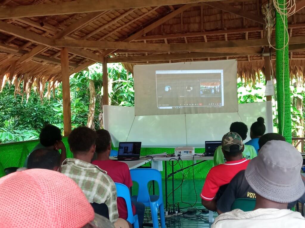
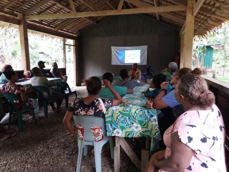
The accessibility of connecting to Internet connection has made it easier and convenient for the facilitating officers and rangers to observe their own work and held online meetings with the outside team.
An online meeting with MAPEO supporting facilitators team. Picture: MSJ
The rangers were able to share their amazing work and observe how handy the app can assist their conservation pursuit. Few words of encouragement were shared by Sharon (GIS project officer) and Andrew Taraha reminded the rangers to see the value of the resource and take ownership of the work. Loads of appreciation was shared amongst the representative.
“The importance of such work will be seen in years to come. I might not see the successful stories, but my children and grandchildren will benefit from this data collection.” David, a ranger of Ahetaha Conservation.
The inclusion of the app is a testament of MMGB’s bold stance on advocacy towards forest management, wildlife protection, cultural preservation, and paving the way towards sustainable development.
For more information about Mai-Maasina Green Belt and its initiatives, visit https://mai-maasina.org/ or https://www.facebook.com/maimaasina